The GPS shows nothing but empty desert for the next 40 miles, but Father Juan María de Salvatierra walked this exact route in 1697 with a pack mule and a wooden cross. Three centuries later, his footsteps have worn into tire tracks, and the stone-lined wells his missions dug still hold water for overlanders stupid enough to venture into central Baja’s furnace without enough reserves.
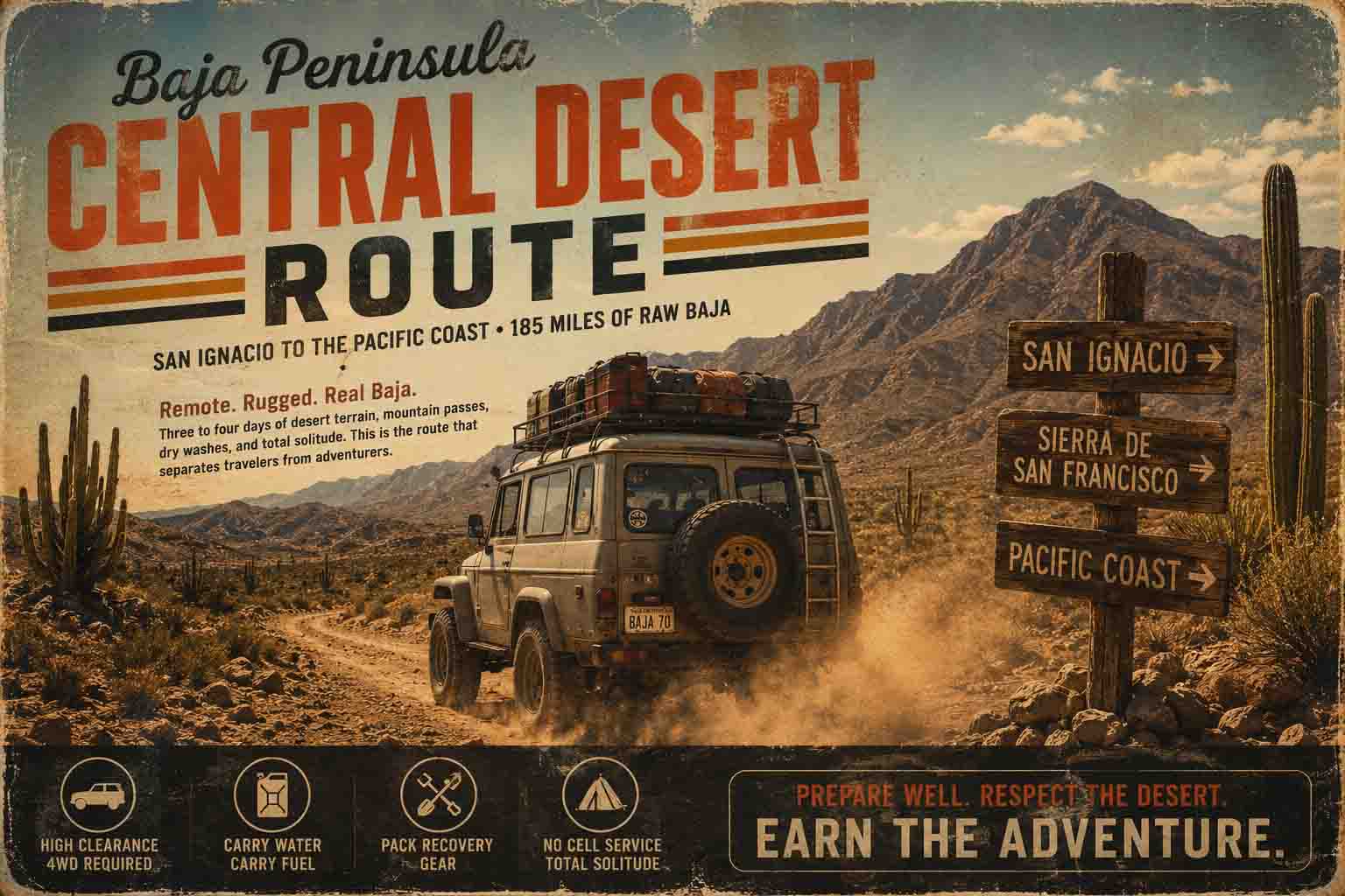
The Central Baja Desert Route spans 180 miles of forgotten Jesuit mission roads connecting Guerrero Negro to Loreto through some of Mexico’s most unforgiving desert. This route follows the original Camino Real that linked remote Spanish outposts, where colonial-era water sources and centuries-old wheel ruts guide modern 4x4s through terrain that hasn’t changed since the conquistadors.
Where Missions Met Desert Reality
The Jesuits weren’t tourists. When they established Misión San Ignacio de Kadakaamán in 1728, they built it around a natural oasis that could support both the mission and travelers crossing the peninsula. That oasis, now the town of San Ignacio, remains the critical resupply point for the Central Desert Route—exactly as the priests intended 295 years ago.
The original mission trail connected San Ignacio to Misión Nuestra Señora de Guadalupe del Norte (Santa Rosalía) via a network of ranchos and seasonal camps. Modern overlanders follow these same paths because the Jesuits solved the fundamental problem of Baja travel: water. Every 20-30 miles, they established way stations at natural springs or dug wells that still function today.
Between San Ignacio and Santa Rosalía, the route passes Rancho San José de Magdalena, where a hand-dug stone well from the 1750s provides the only reliable water for 35 miles in either direction. The well sits 12 feet deep, lined with fitted volcanic stone, and has never run dry. Spanish engineers knew their hydrology.
Reading 300-Year-Old Tire Tracks
The Central Desert Route isn’t marked by signs or GPS waypoints—it’s defined by erosion patterns worn into bedrock over three centuries of wheels, hooves, and feet. Near Rancho La Purísima, dual tracks cut six inches deep into exposed granite show exactly where colonial ox carts wore permanent grooves that modern trucks still follow.
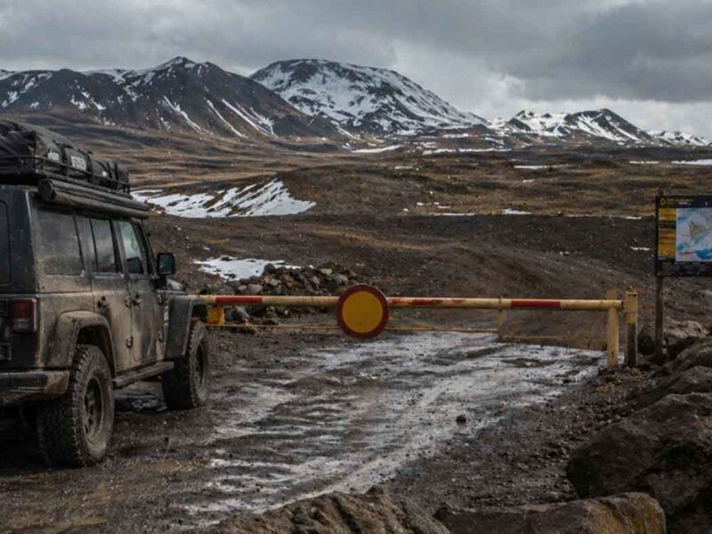
These aren’t maintained roads. The route crosses arroyos that flood once every five years, climbs through boulder fields that require spotting, and navigates around cardón forests where a wrong turn means backing out for miles. A stock 4×4 with 31-inch tires can complete the route, but ground clearance matters more than traction. The limiting factor is usually the driver’s comfort level with isolation, not the vehicle’s capability.
Water remains the critical resource. The route includes five confirmed water sources: San Ignacio (municipal), Rancho San José (hand-dug well), Punta Chivato (brackish but drinkable), Santa Rosalía (municipal), and an unnamed spring 18 miles southeast of Santa Rosalía that requires a 2-mile hike off the main track. Carrying 20 gallons minimum is mandatory; 30 gallons is wise.
What the Jesuits Left Behind
Beyond water sources, the mission route preserves artifacts of colonial engineering that modern overlanders depend on. Stone bridges built in the 1730s still span seasonal washes near Rancho Santa Agueda. Rock cairns mark route changes around impassable terrain—the same markers that guided Spanish supply trains now guide GPS-equipped trucks.
The most impressive remnant sits 23 miles northwest of Santa Rosalía: a stone roadhouse foundation with attached corral that housed travelers and livestock. The walls stand four feet high, built from fitted volcanic stone without mortar. Inside, overlanders find fire rings and gear caches left by modern travelers—a continuity of purpose spanning three centuries.
This isn’t a preserved historical site or tourist attraction. It’s a working piece of infrastructure that serves the same function it did in 1750: shelter for travelers crossing hostile country. The Jesuits built for permanence, and permanence is exactly what desert travelers need.
The Central Desert Route strips away the noise of modern overlanding culture—no Instagram-worthy vistas or manufactured adventure. Just the fundamental challenge that has defined Baja travel since the Spanish arrived: crossing empty country with enough water to survive the crossing. Three hundred years later, the Jesuits’ solutions still work.
Q: How long does the Central Baja Desert Route take to complete?
The full 180-mile route requires 2-3 days for most overlanders, including overnight stops at San Ignacio and either Punta Chivato or Santa Rosalía.
Q: What vehicle modifications are required for this route?
A stock 4×4 with 31-inch tires can complete the route, but skid plates and recovery gear are essential due to sharp volcanic rock and remote location.
Q: Where can I reliably find water along the route?
Five confirmed water sources exist: San Ignacio, Rancho San José well, Punta Chivato, Santa Rosalía, and an unnamed spring 18 miles southeast of Santa Rosalía requiring a 2-mile hike.
Q: When is the best season to run the Central Desert Route?
October through April offers the safest conditions, with daytime temperatures between 75-85°F and minimal risk of flash flooding in the arroyos.
Q: How much water should I carry for this route?
Carry 20 gallons minimum, 30 gallons recommended, as water sources are spaced 35+ miles apart and seasonal springs may be dry depending on recent rainfall.
Q: Can I run this route solo?
Solo travel is possible but not recommended due to limited cell coverage and 35+ mile gaps between reliable water sources—travel with at least one other vehicle.
Have a dirty day.